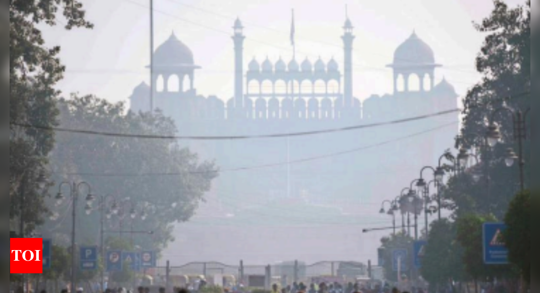
NEW DELHI: The city is likely to receive very light rain or a drizzle on Wednesday and Thursday under the influence of a western disturbance. After its impact is over, a change in wind direction is expected to cause a dip in the night temperature. The minimum temperature on Tuesday was 17.2 degrees Celsius, three notches below normal, but it’s likely to dip to 14 degrees Celsius on November 13. However, the maximum temperature dipped from 33 degrees Celsius, four degrees above normal, on Monday to 29.1 degrees Celsius (near-normal) on Tuesday. Monday was the warmest November day since 2008, but the maximum temperature reduced by 4.2 degrees Celsius. In 2008, a higher maximum temperature of 33.5 degrees Celsius was recorded on November 4. “The day temperature dipped because of cloud cover and absence of sunlight,” said a Met official. According to India Meteorological Department, the predominant surface wind is coming from the east due to the western disturbance. The night temperature is likely to hover at 16-17 degrees Celsius for the next two days due to easterly winds and partly cloudy skies. “The predominant surface wind may be from the northwest direction on Friday and there are chances of mainly clear sky. During winter, northwesterly winds bring cold winds from the Himalayan region and cause a dip in the night temperature,” said the Met official. IMD’s forecast says the minimum temperature is likely to reduce to 15 degrees Celsius on Saturday and may dip further to 14 degrees Celsius on Sunday. Since two western disturbances impacted the region from December 1 to 6, the night temperatures have been mostly higher than normal in November so far. Though the night temperature settled at 15.2 degrees Celsius on November 1, it started rising since then.
Source: https://timesofindia.indiatimes.com/city/delhi/light-showers-to-lower-night-temperatures/articleshow/95386592.cms