
[ad_1]
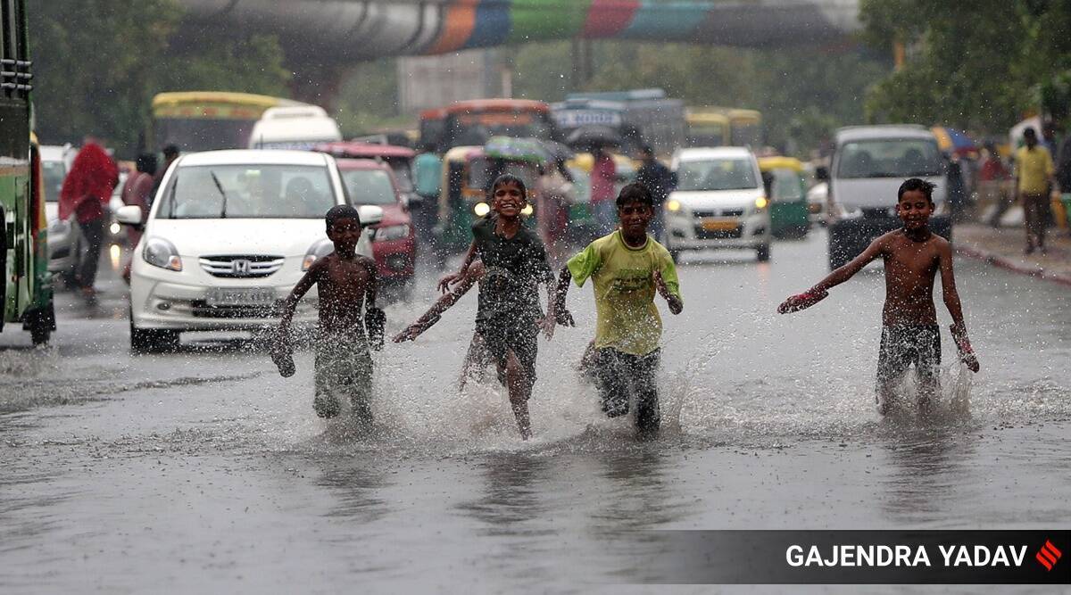
Light to moderate intensity rainfall is likely over many parts of Delhi and the National Capital Region (NCR), including Gurgaon, Noida, Faridabad and Sonipat this morning, according to the India Meteorological Department (IMD).
An IMD forecast issued at around 9.12 am said a thunderstorm with light to moderate intensity rainfall is likely to occur over Delhi-NCR in the next two hours.
Parts of the city received light rainfall early in the morning as well. The weather observatory at Palam recorded the highest amount of rainfall in the past 24 hours – 33.6 mm. The weather station at Aya Nagar recorded 27.8 mm. Safdarjung, which provides representative figures for the city, recorded only 0.8 mm over the past 24 hours.
The IMD forecast points to the likelihood of widespread rainfall over Himachal Pradesh and Uttarakhand from August 5 to 7. While the monsoon trough lies south of its normal position and is likely to remain there for the next four to five days, a western disturbance lies over central Pakistan and the neighbourhood, according to the IMD.
Moderate rainfall remains on the forecast for Delhi on Saturday, while light rainfall is likely on Sunday. Rainfall is not on the forecast from August 9 to 11.
The maximum temperature in Delhi on Friday is likely to be around 34 degrees Celsius, close to the 34.6 degrees recorded on Thursday. The minimum temperature recorded early on Friday was 26.5 degrees Celsius, which is around the normal for this time of the year.
The Safdarjung weather station has recorded a deficit in rainfall so far this month. While the normal till August 5 is 42.6 mm, Safdarjung has received 8.6 mm, recording a shortfall of 80%. The Lodhi Road weather station has a similar deficit of around 89%, while Palam has a deficit of around 15%.
[ad_2]
Source link