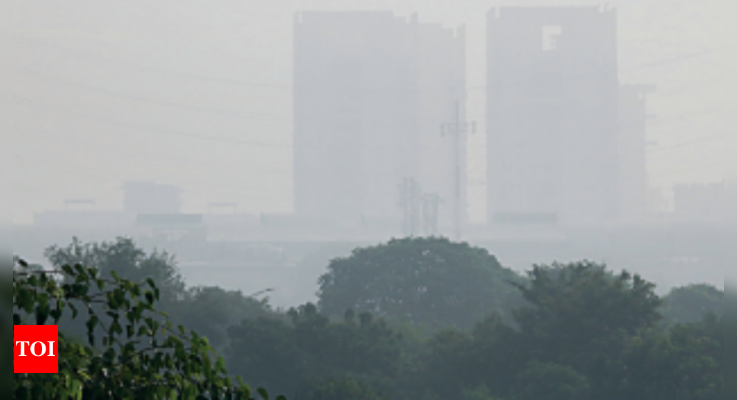
GURUGRAM: It’s not even mid-October but the city woke up to the feel of a December morning on Wednesday as a thick, grey fog reduced visibility in the day’s early hours. There was a nip in the air too with the minimum temperature dropping to 20.8 degrees. In some parts of the city, visibility was less than 400 metres, according to the India Meteorological Department (IMD). Met officials said northerly winds will soon bring down the temperature by 2-3 degrees Celsius and this year is likely to witness an early winter. Usually, the region enters winter from November 15, but this year because of the recent spell of rain, it is likely to begin from November 7. “Fog was reported in the morning hours in Haryana. After the recent rain spell, moisture content is high in the air, resulting in morning fog. We had foggy mornings after rains in September as well,” said Manmohan Singh, director of IMD (Chandigarh). “This year, the region is likely to witness winter early owing to the recent rains and presence of northerly winds. We were getting easterly winds, due to which temperatures were on the higher side, but the northerly winds are likely to bring mercury down by 2 to 3 degrees in the next 10 days. This year, the region is likely to enter the winter cycle by November 7,” he added. Owing to fog and low wind speeds, Gurugram’s air quality deteriorated on Wednesday with the AQI recorded at 120 (moderate). The city’s air quality was ‘satisfactory’ at 57 on Tuesday after four consecutive ‘good’ air days. Haryana State Pollution Control Board (HSPCB) officials said the AQI rose as moisture trapped local emissions due to the fog and a drop in wind speeds. “Predominant surface winds are coming from the northwest/north direction at speeds of 4kmph-8kmph. As a result, pollutants are getting trapped close to the atmosphere,” said Kuldeep Singh, the regional officer for Gurugram. On Wednesday, the AQI was ‘satisfactory’ at Vikas Sadan (59) and Gwalpahari (83). Sector 51 (175) and Teri Gram (157) recorded ‘moderate’ AQI. Meanwhile, a thick layer of fog engulfed Delhi on Wednesday morning with visibility dropping to 300 metres at Palam and 600 metres at Safdarjung, the city’s base weather station, from 7am to 9am. This was the season’s first fog and may form again on Thursday morning. Met officials said fog formed in the first half of October barely two-three times in the past 30 years. Though moderate fog formed at Delhi airport, airport officials said no flight operation was hampered. The capital’s night temperature on Wednesday dropped to 20.2 degrees Celsius, one degree below normal, on Wednesday. It is likely to dip further this week. The maximum temperature on Wednesday was 30.3 degrees Celsius, three notches below normal. Delhi’s air quality has deteriorated owing to haze in the morning due to high humidity and low wind speed, which may continue for the next few days. According to IITM’s early warning system, air quality will deteriorate to poor within the next two days. On Wednesday, the AQI was in the ‘moderate’ category at 143, against 66 (satisfactory) a day earlier.
Source: https://timesofindia.indiatimes.com/city/gurgaon/unusual-october-day-with-thick-fog-nip-in-air-winter-will-set-in-early-in-gurugram-says-imd/articleshow/94822459.cms